
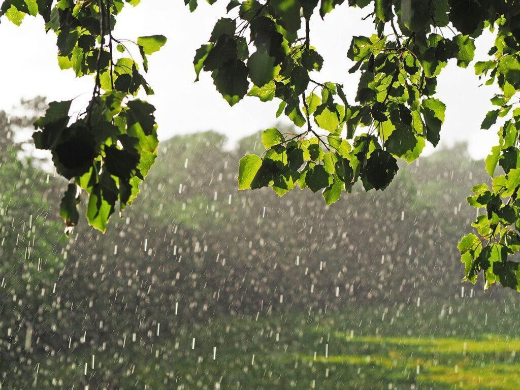
The weather forecast for the UK is set to experience a mix of conditions over the coming days, as various weather systems compete for dominance. This variability is typical of the autumn season, promising a blend of warm and cool temperatures.
Changeable Weather Patterns Expected
As we move into the weekend, the UK will see a variety of weather types. Today, heavy and blustery showers will sweep across the country, interspersed with brief sunny spells. The autumnal wind will create a chill in the air, reminding everyone that summer has officially ended.
Looking ahead to Saturday, the day will commence with a series of showers moving in from the north and west. Chief Forecaster Andy Page mentioned that “some of these showers will bring larger rainfall totals, particularly in the northwestern regions.” In the southern areas, temperatures could reach around 15°C during the drier intervals between showers.
As the day progresses, a transient ridge of high pressure will bring clearer skies on Saturday evening, leading to cooler overnight temperatures, with a chance of frost in susceptible areas of northern England. Sunday is expected to be predominantly dry and bright, with sunny spells and any lingering showers dissipating.
Rain and Winds on the Horizon
However, the weather will take a turn in the west on Sunday afternoon, with increasing cloud cover and rain approaching the southwest later in the day. Overall, temperatures will remain near average for this time of year, influenced by milder air from the Atlantic. Coastal areas along the Irish Sea should be on alert for strong winds, potentially escalating to gales.
Deputy Chief Forecaster Mike Silverstone has indicated that Monday will likely be impacted by a frontal system moving from west to east across the UK. This will bring thicker cloud and rain in its wake. A deepening area of low pressure to the northwest suggests that gales could develop along coastal regions and elevated areas in the north and west of the UK by Monday night, driven by a robust and active jet stream. At present, these conditions do not appear severe enough to warrant weather warnings.
Unsettled Conditions Persist into Next Week
Tuesday is expected to remain unsettled and windy, but unusually mild for October, particularly in eastern and southeastern England. A band of rain will sweep across the UK, with some areas experiencing heavy downpours. This will be followed by brighter and fresher weather moving in from the west, although Scotland and Northern Ireland may still face some lively showers.
Overnight gales in the north and west should subside by Tuesday morning, although Northern Scotland may see further gales throughout the day. Temperatures in the warmest locations could reach the low 20s Celsius before cooler air returns later in the day, marking a significant shift in weather patterns as autumn settles in.
For the most up-to-date forecast, please visit our website or follow us on social media platforms such as X and Facebook. Our mobile app is also available for iPhone users through the App Store and for Android devices via the Google Play Store.




More Stories
UK’s Early Spring: Discover How Nature Is Adapting to Rising Temperatures
UK Records Joint-Fourth Hottest September Ever
Mild and Rainy Conditions Ahead, But Expect More Settled Weather Later This Week