
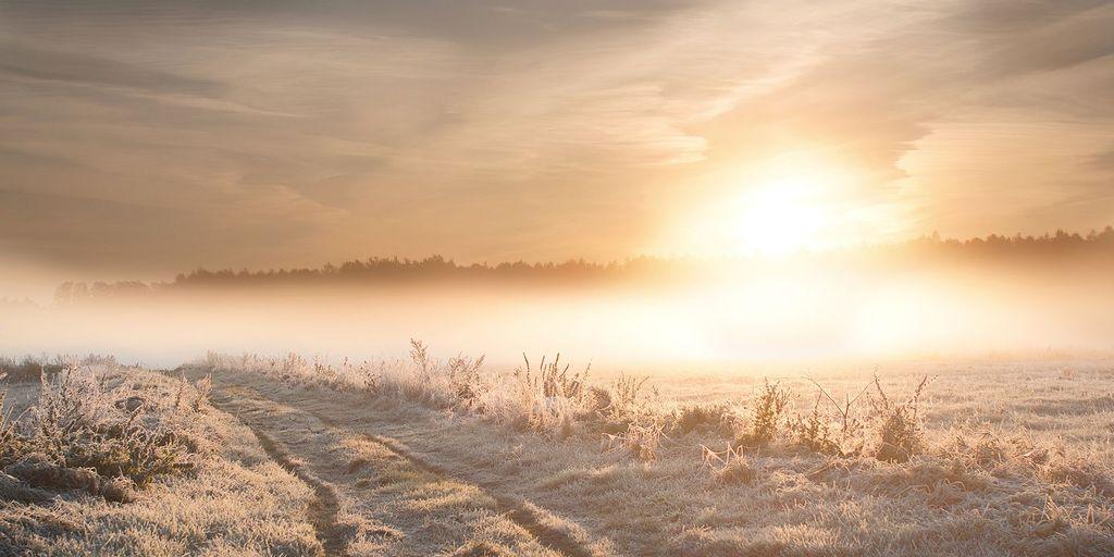
This week, parts of the UK will experience fog and rain, accompanied by a yellow fog warning for central England and Wales overnight, before colder and frostier conditions move southward.
On Monday, most areas are expected to remain dry with sunny intervals, although patches of mist and fog may persist throughout the day. Winds will pick up in the southwest later as clouds and rain begin to move in.
During Monday night, fog is anticipated to blanket parts of central and northern England and Wales, while the south and southwest will experience scattered rain, extending into southeast England and southern Wales. Frost is expected to develop across northern regions, particularly in rural areas of Scotland.
The Chief Meteorologist at the Met Office indicated that a period of high pressure has resulted in light winds and clear skies, which have facilitated the formation of fog. The weak November sun has contributed to the slow dissipation of this fog.
He added, “We’re anticipating one more night of dense fog, with warnings in effect for some regions. Increased cloud cover and wind should help prevent further widespread fog formation.”
Weather Developments on Tuesday
On Tuesday, a band of cloud and rain will move northwards across much of England and Wales, with heavier bursts likely in the southwest later in the day. Meanwhile, many areas will remain dry with occasional sunny spells, although fog and low cloud may be slow to dissipate. Temperatures will generally hover around or slightly below average.
Tuesday night will see continued cloudiness in southern regions with further rain expected, particularly heavy in the southwest. In contrast, clearer conditions in northern areas will allow frost to form along with patches of fog.
Midweek Weather Outlook
By Wednesday, colder air will begin to filter into the north. Rain is set to persist across parts of southern England and Wales, while showers will sweep south across Scotland, potentially turning wintry in the far north and northeast. Strong winds are also predicted for the far northeast.
The Chief Meteorologist noted that “snow showers could briefly occur on lower ground in northern Scotland and the Northern Isles, particularly Shetland, overnight on Wednesday into Thursday. However, any snow accumulation is likely to be limited to higher elevations, which is typical for this time of year.”
Forecast for Later in the Week
As Thursday and Friday approach, colder air will continue to push south across the UK. Most areas will see drier conditions with some clear or sunny intervals, although showers may persist in northern and eastern parts, with some of these potentially being wintry over high ground in Scotland.
By Thursday, temperatures are expected to drop below average across a wide area, particularly on Friday, when frost will become more prevalent. The far northeast is likely to feel particularly chilly due to stronger winds.
Weekend Weather Predictions
There is some uncertainty regarding the evolution of weather conditions over the weekend. High pressure is expected to shift towards continental Europe, allowing for the influence of Atlantic weather systems to increase.
As a result, cold conditions may become less widespread, with temperatures recovering closer to average and the possibility of rain later in the weekend.




More Stories
Record Summer Sparks Increased Action Among Young People in Response to Weather Warnings
Amber Weather Warning for Storm Boelo as Storm Austen Sweeps Across the UK
Storm Boelo Set to Bring Powerful Winds to Northern UK Regions