
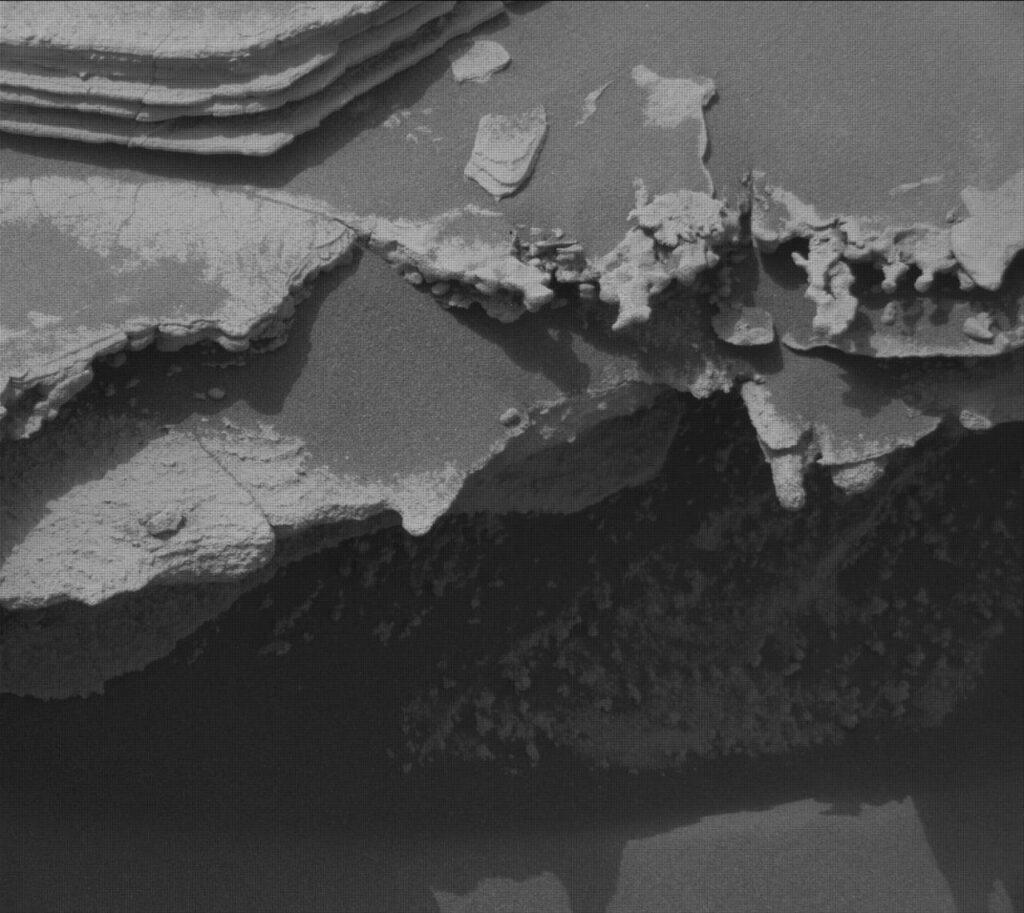
A striking black-and-white image captured by the Curiosity rover reveals a jagged, deeply eroded rock ledge, which casts a prominent shadow across the Martian landscape. In the upper left corner of the photograph, thinly layered, flat sedimentary rocks can be seen, offering a glimpse into the geological history of the area.
Insights from the Martian Terrain
This close-up photograph underscores the dynamic processes that have shaped the surface of Mars over countless millennia. The eroded rock ledge suggests significant weathering, likely influenced by the planet’s harsh environmental conditions. Such formations provide valuable data that can help scientists understand the planet’s past and the forces that have sculpted its terrain.
The layered sedimentary rocks observed in the image are particularly intriguing. These formations often indicate the presence of ancient water, as they typically form in environments where sediment is deposited over time. The study of these rock layers could reveal important clues about the climatic conditions that prevailed on Mars when they were formed.
The Role of Curiosity in Mars Exploration
The Curiosity rover has been a vital asset in our quest to comprehend the Martian environment. Since its landing in 2012, it has provided numerous insights into the planet’s geology and atmosphere. The rover’s advanced instruments allow for detailed analysis of rock samples and soil, helping researchers piece together the planet’s history.
As Curiosity continues its mission, it not only explores the surface but also contributes to our understanding of potential habitability. The findings from such images and analyses play a crucial role in preparing for future missions, including the possibility of human exploration on Mars.




More Stories
NASA Uncovers Intricate Water Systems on Mars’ Ancient Landscape
Explore the Stunning Cocoon Nebula: September 21, 2026 Wide Field Imagery
NASA and JAXA’s XRISM Mission Captures Pulsar Interacting with Companion Star’s Stellar Wind